
WE DELIVER ACTIONABLE DATA & IMAGERY FOR THE CONSTRUCTION & INFRASTRUCTURE INDUSTRY.
Drone Imagery Northwest
We deliver state-of-the-art quality, accurate, and customized imaging services for mapping, construction, modeling, and inspection.


What we can do for you
We are a team of FAA certified commercial pilots and licensed land surveyors in Western Washington state. We coordinate closely with our sister company, Thornton Land Survey to collect data and fully process imagery and point clouds, including LAZ & LAS lidar data in order to produce industry standard CAD files or deliver georectified orthomosaics.
We oversee the collection of aerial digital imagery and process the data to create maps. Our team is dedicated to finding the most productive assets for your workflow. Whether you are looking for cut and fill volumes or asset inventory, we can provide you with key imagery and insights to fit your project needs. We want to work with the data you need to provide the most actionable insights for your team.
Site management
Whether your team is looking for volumetrics, asset management, 3D modeling, or site progressions, we can provide you with actionable data to oversee your construction project. Reach out to us to find out how we can help.
Modeling
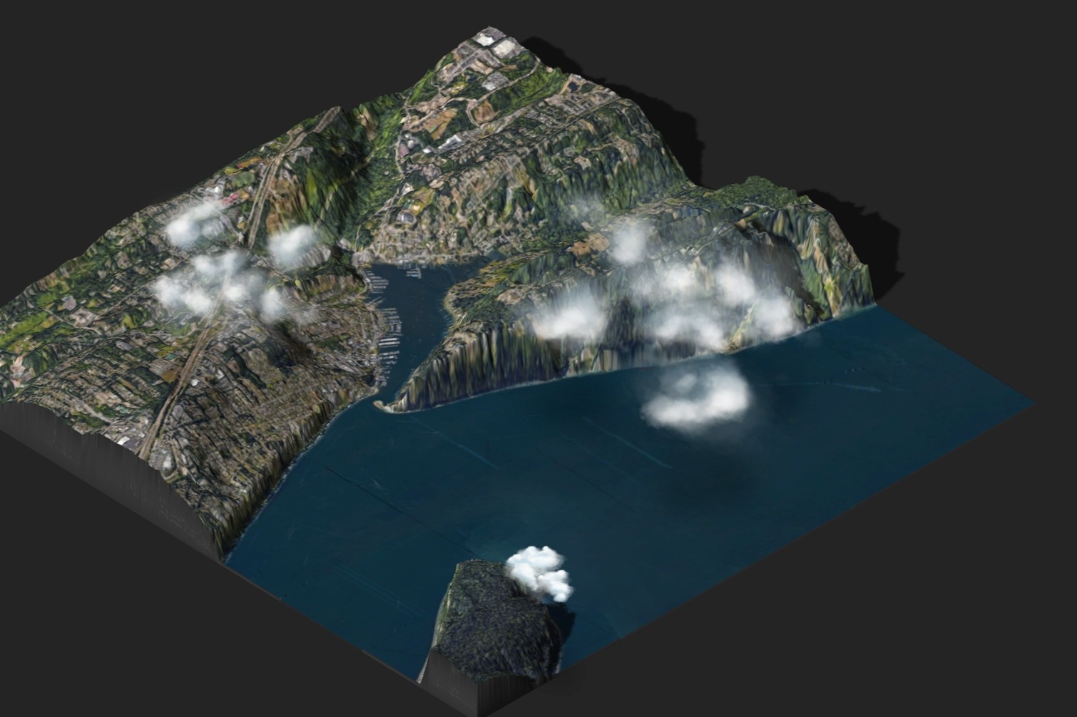
Accurate, data driven models are essential to visualizing a project from start to end. Contact us today to find out how an aerial 3D model can help your next build.
Inspection
It is vital to mitigating risk, assessing progress, and documentation to inspect your site or project on a consistent basis. We provide imagery and analysis for a wide range of assets to ensure your risk management is on point.
